Vegetation Mapping
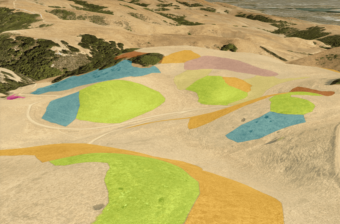
Benson Bio Consulting creates fine scale vegetation maps of herbaceous communities, primarily grasslands and salt marshes, using ground-based mapping techniques. Remote sensing technology is unable to accurately map most herbaceous vegetation communities, so ground-based mapping is required.
We have honed our mapping technique over the past seven years and 4,000+ acres mapped. Lands mapped include East Bay Regional Parks, Marin County Parks, and the Jenner Headlands Preserve.
Click for Map Portfolio

Fine scale grassland mapping at Garin Regional Park, East Bay Regional Park District, Alameda Co, CA